
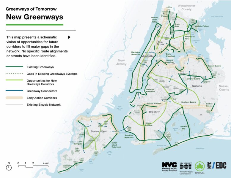
The City of New York has released the Greater Greenways plan, a blueprint to expand and unify the city’s multi-use corridors designed for cycling, walking, and recreation. Announced along the East River esplanade in Manhattan, the plan is a collaboration between the New York City Department of Transportation (NYC DOT), NYC Parks, and the Economic Development Corporation (EDC).
The plan is the first of its kind in over three decades and fulfills a mandate from Local Law 115 of 2022. It documents the current state of greenways, over 500 miles citywide, and includes detailed maps of their routes, jurisdiction, and conditions. Spearheaded under the Adams administration, it identifies 15 systems under multiple agencies and offers transparency around closures and detours. Looking ahead, the plan prioritizes five goals: enhancing transportation, improving equity and accessibility, promoting health, supporting economic growth, and strengthening environmental resilience. Current efforts are focused on The Bronx and Queens, with more than 100 capital projects in progress or in development.
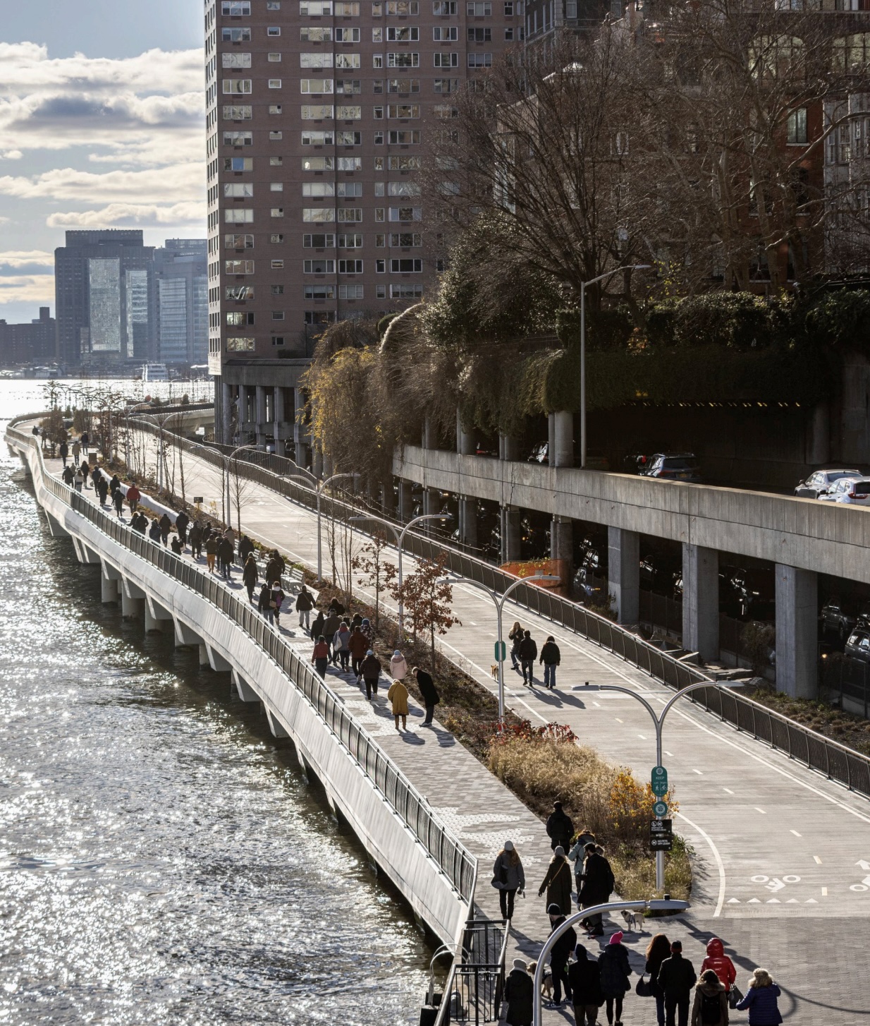
Photograph of existing greenway. Source: Greater Greenways Plan
Greater Greenways builds on recent city initiatives including the Harlem River Greenway and the five outer-borough planning corridors introduced in 2023. The report includes design guidelines to ensure accessibility for all users and encourages integrating greenway planning into city transportation and resilience strategies.
“The release of the Greater Greenways Plan is a long-overdue and welcome step toward building a truly citywide greenway network that serves all New Yorkers,” said Adam Ganser, executive director, New Yorkers for Parks. “For the first time, the plan maps agency jurisdiction across hundreds of miles of greenway corridors and makes clear where city parks and other agencies share responsibility. That kind of transparency is essential for coordinated investment, long-term planning, and equitable maintenance.”
Subscribe to YIMBY’s daily e-mail

Follow YIMBYgram for real-time photo updates
Like YIMBY on Facebook
Follow YIMBY’s Twitter for the latest in YIMBYnews
But of course. “Promoting equity “. What a surprise.
You must be confused.
The DEI gods must be revered!
Wonderful, game changing, and very overdue
Yes, some of these Greenways, like the east side of Manhattan’s, go back decades. They are over-priced but also way overdue. We actually have less Greenway on Manhattan’s east side than when I was a ride leader for East Coast Greenway Alliance a decade ago.
George Richardson – what is wrong with promoting equity? Meaning that people who currently don’t have easy access to quality green spaces and recreational areas will now have better access. How can you be against that?
it’s code for discrimination against Whites.
I hope you personally are discriminated against.
That’s never what equity means.
This may also serve to improve upland access to pedestrian ferry stops. Connecting to/from mass transit with ferries is a HUGE limiting factor in their current use. While this doesn’t resolve these challenges, it does extend (in a safe and pleasing way) the means by which riders can access to/from ferry stops. One example of a potential beneficiary could be the drawing of more people to the waterfront could justify enhanced ferry access to places like Randalls Island (tremendously underutilized sports complex) from multiple boroughs. Many other benefits to be derived.
How about we fix the east side greenway from falling into the river and/or being obstructed by private construction.
What plans are being developed for Staten Island ferries to connect the island with Brooklyn, with New Jersey? We are an abandoned borough.
We need a kayak launch, boat house on the East Side. There is a canoe winch that is or was locked up at 96th street- it’s been out of service for years. When they fix the crumbling esplanade, it needs to include water access.