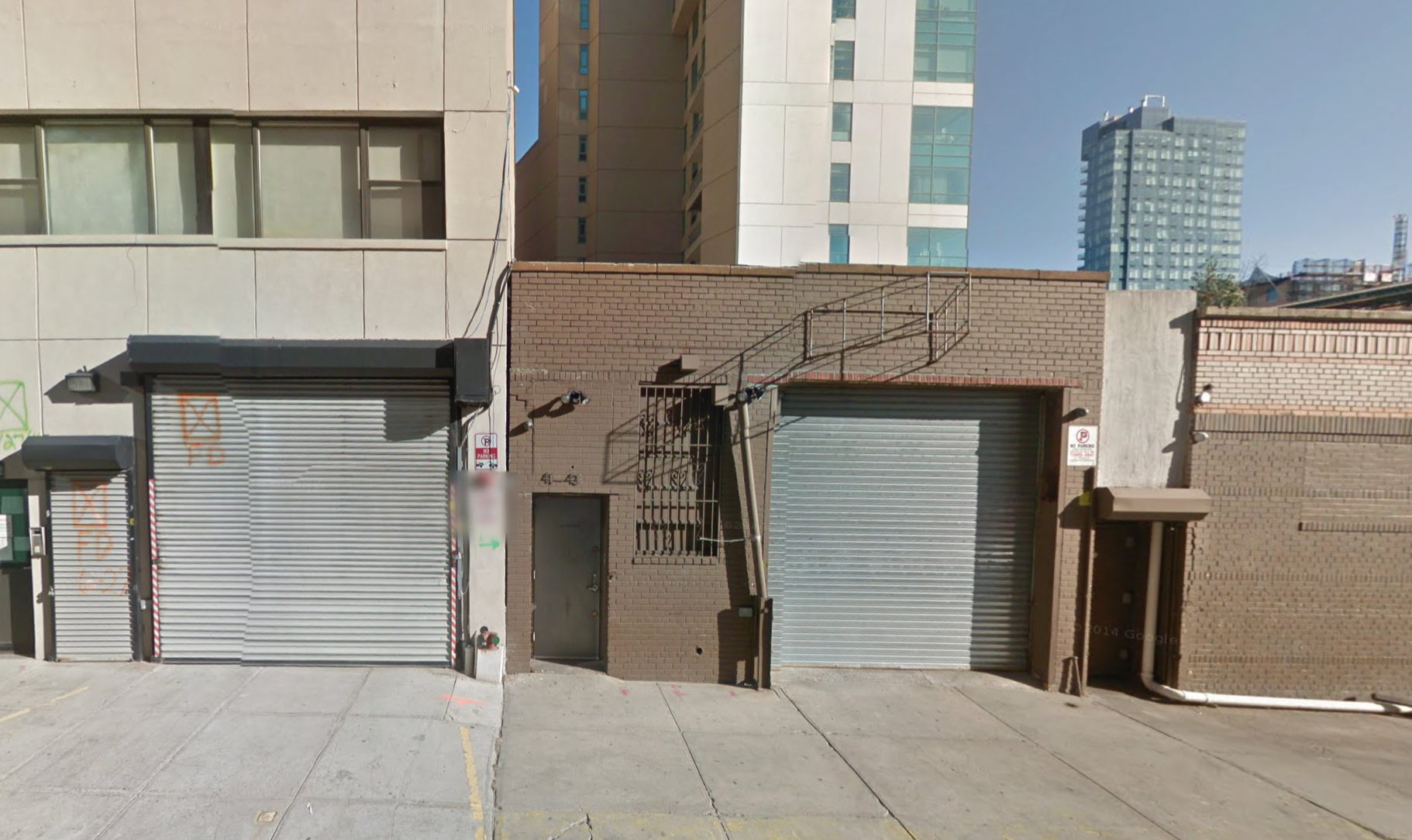
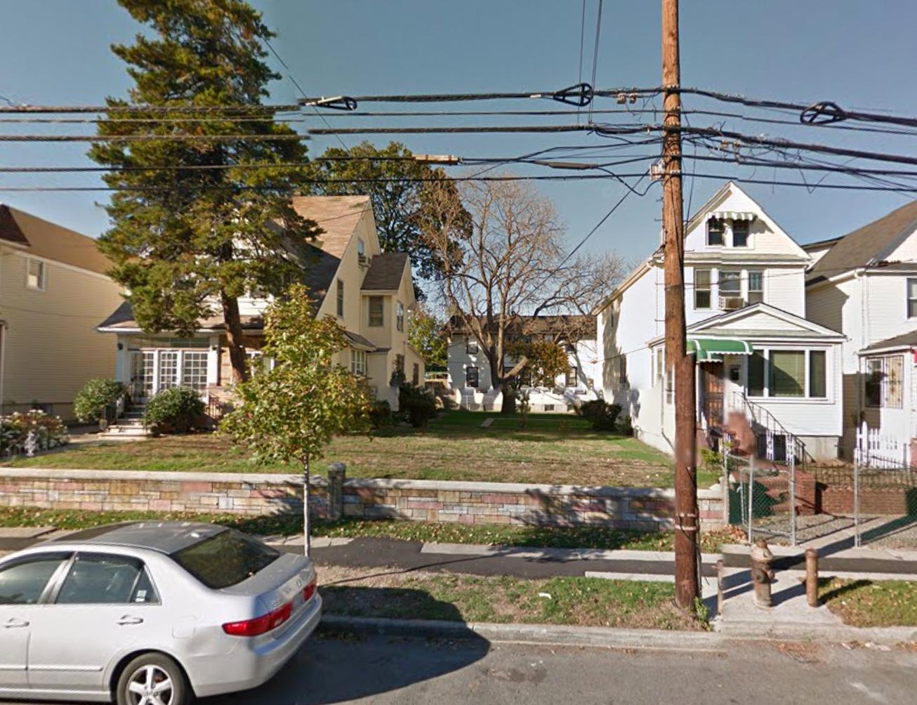
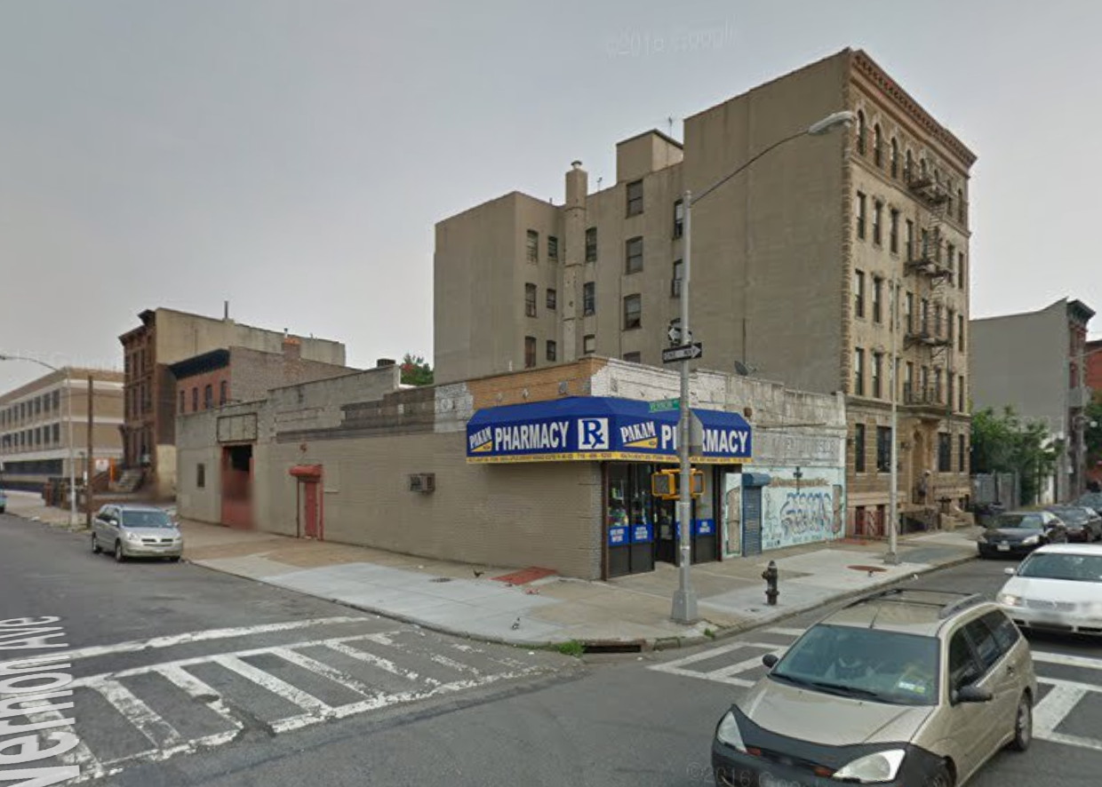
Back in September of 2014, news broke that a seven-story, 90-unit mixed-income residential project was being planned at 1552 Bergen Street, in eastern Crown Heights, located six blocks south of the Utica Avenue stop on the A/C trains. The 68,711-square-foot building, dubbed Concern Bergen, has been quietly rising and has since topped out. Now, applications for the apartments – a mix of affordable, supportive, and market-rate units – are available, according to DNAinfo. Of the 90 apartments, 55 will be assigned to adults with psychiatric disabilities and will average 480 square feet apiece. The next 33 apartments, comprised of one- and two-bedrooms, will rent at below-market rates through the housing lottery, while the remaining two apartments will be market-rate rentals. The 35 non-supportive units should average 877 square feet apiece. Amenities include a fitness center, a computer lab, multiple lounges, a laundry, private storage space, storage for 21 bikes, a seven-car garage on the ground floor, and an outdoor terrace. Long Island-based Concern for Independent Living is the developer, while Dattner Architects is behind the design. Occupancy is expected in September.


